Maryland History
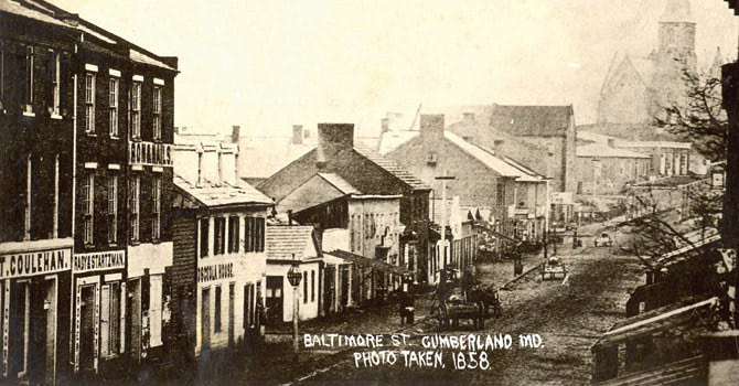
Beginning in Baltimore, Maryland the Historic National Road crosses six states and more than 700 miles, past historic landmarks, forested mountains, fertile farmland and pastures, industrial towns and modern cities to the Mississippi River and the Eads Bridge in St. Louis, Missouri.
In 1806, Congress authorized the establishment of a road running from Cumberland, Maryland to the Ohio River. This Historic National Road (alternately referred to as the National Turnpike, Cumberland Road, or Cumberland Turnpike) facilitated America’s westward expansion and would eventually extend to Vandalia, Illinois.
The Cumberland Road was, at that time, aligned near an American Indian Trail called Nemacolin’s Path, named for the Delaware Indian who helped open it for the Ohio Company in 1751. British General Edward Braddock’s officers widened or blazed fragments of Nemacolin’s Path and renamed the road Braddock’s Road. Braddock’s Road was The Historic National Road’s recommended route, but the slopes were too steep for its maximum grades.
The new road from Cumberland to Wheeling inspired Maryland’s General Assembly to create a turnpike, run by private interests, connecting Baltimore and Cumberland. The Baltimore to Cumberland section was designated the Baltimore National Pike. It combined several existing turnpikes such as the Baltimore and Fredericktowne Pike, also known as Frederick Road, the Hagerstown and Boonsboro Turnpike, and the Cumberland Turnpike. Local banks financed the pike, which became known as the Bank Road.
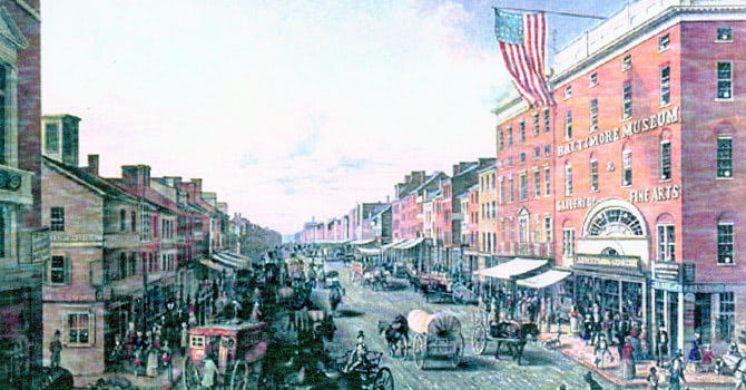
Town development along the Historic National Road was dominated by the Main Street model, a linear plan including a principal street and one or two parallel “back streets.” Main Street, the Historic National Road, was the town’s commercial and residential center. Maryland has five officially designated Main Street communities on the road including Mt. Airy, Frederick, Middletown, Cumberland and Frostburg. Baltimore’s Inner Harbor and Ellicott City are also vibrant communities located on the Maryland Historic National Road.
As trucks and automobiles evolved, so did roads and towns. Modern transportation and travel needs demanded wider, straighter and faster routes. Although the two-lane Historic National Road still threads together Maryland’s Main Streets, sections are now disguised as U.S. Route 40, Scenic Route 40, Alternate Route 40 or 40A and Interstate 68.
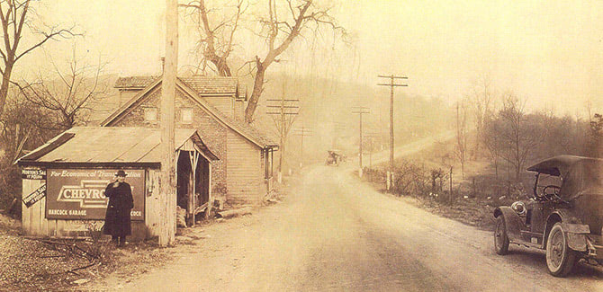
In the 1960s, the U.S. Route 40 bypass skirted town centers and widened sections of the original road linking the towns. Later, an interim highway, U.S. 48, was constructed from Hancock, Maryland through West Virginia, which today has become Interstate 68. U.S. 48 was designated The National Freeway, reflecting its origin as part of the old Historic National Road and its use as an express route through Western Maryland.

