Introducing the Road
As our guests begin their tour, three exhibits give a quick overview of what the National Road is, was, and what existed before. These three exhibits are: Introduction to the National Road, Evolution of Roadbuilding, and Roads from Coast To Coast.
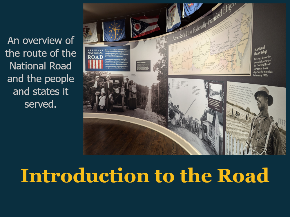
Our museum offers a stunning introduction for new visitors as they walk through the doors. The curved “Introduction to the Road” exhibit provides guests with a brief overview of the road’s importance, function, route, and impact.
When beginning guests on their tour, be sure to point out the map of the National Road, so that they can acquaint themselves with the road we are discussing and where it went.
Keep in mind, the “federally constructed” section of the Road was built only between Cumberland, Maryland and Vandalia, Illinois.
This exhibit mentions the parts played in the Road’s creation by President Thomas Jefferson and Secretary of the Treasury Albert Gallatin, mentions toll gates, and the use of roads in general for travelers, and the impact roads had on the lives of African Americans seeking better lives.
Before guests enter the exhibit hall, an easier-to-read reproduction of the tolls as displayed at the LaVale Tollhouse in Allegany County, Maryland is displayed. The toll for animals and cheaper tolls for wider wagon wheels are of interest to many guests. Below the toll list is an image of the tollhouse and a small display honoring David Shriver, one of the visionaries and superintendents of the National Road.

Following the introduction, the first exhibit guests come to is the Evolution of Roadbuilding.
This exhibit touches on the ancient art of roadbuilding, featuring the Appian Way in Italy, the pinnacle of ancient road architecture, and its technique of using layered stones of different sizes – a subject which connects to a later exhibit in the museum.
As visitors continue, we begin the journey on American roads, beginning with game trails and Native American trails, the Ohio Company’s “Nemocolin Trail” named for the Delaware Tribe chief who showed surveyers the safe trail, and finally General Edward Braddock’s road which was constructed under the guidance of his aide de camp George Washington and preceded the construction of the National Road.
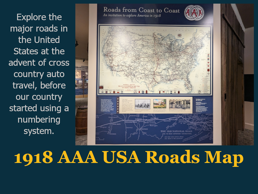
Also known as Roads From Coast To Coast, guests come to this 1918 map produced by AAA, showing the major travel roads of the United States during the early stages of the nationwide federal road improvement.
The National Road can be followed as the eastern section of the National Old Trails Road on this map, an orange dotted line traveling from Baltimore to Los Angeles.
This map shows the network of major roads which grew rapidly after the success of the National Road, even without federal support until 1915.
Phase II
Each of these exhibits have a Phase II design:

An early rendering of the Introduction to the Road exhibit with Phase II elements included. The final results may be somewhat different.
Introduction to the Road
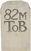
“Reader Rails,” interactive elements, and three dimensional elements including a replica Cumberland Road milemarker will be added along the curved wall.
Evolution of Roadbuilding
This exhibit’s phase II design includes the inclusion of artifacts and replicas currently pictured, including actual Native American arrowheads and tools.
Roads from Coast To Coast
An advanced version of this display could include options for illuminated sections of the National Road.